MASE Ingeniería
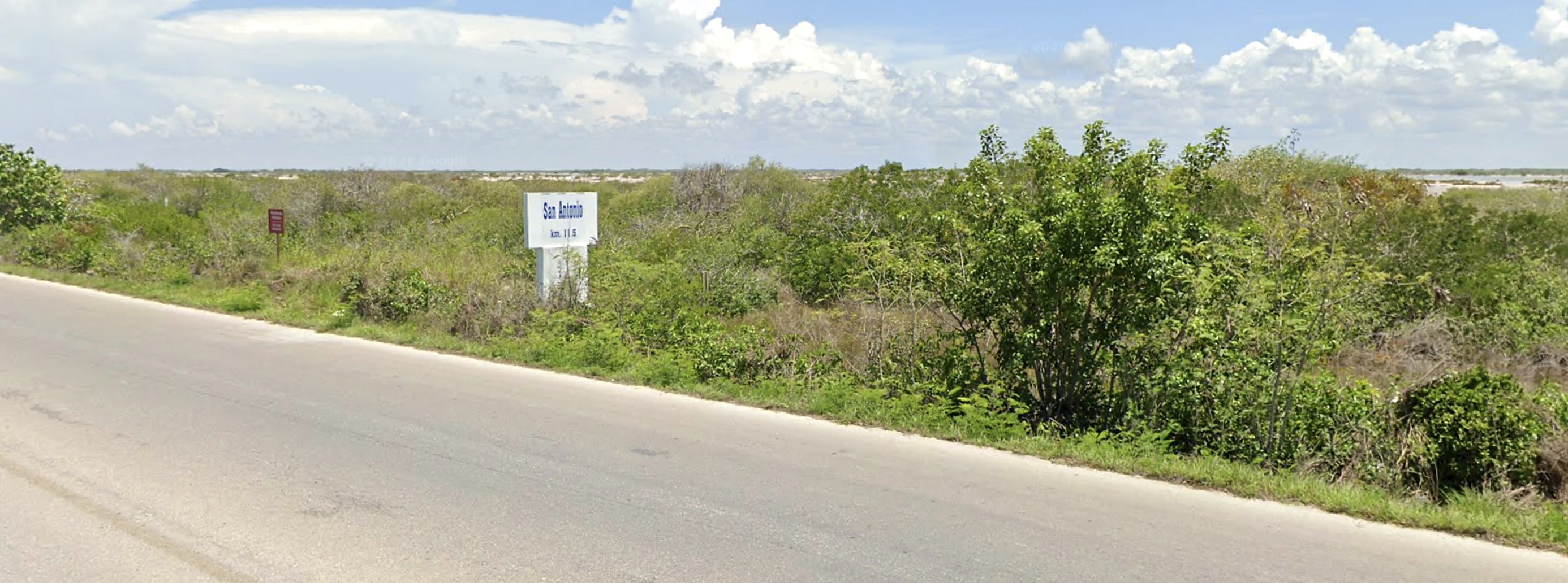
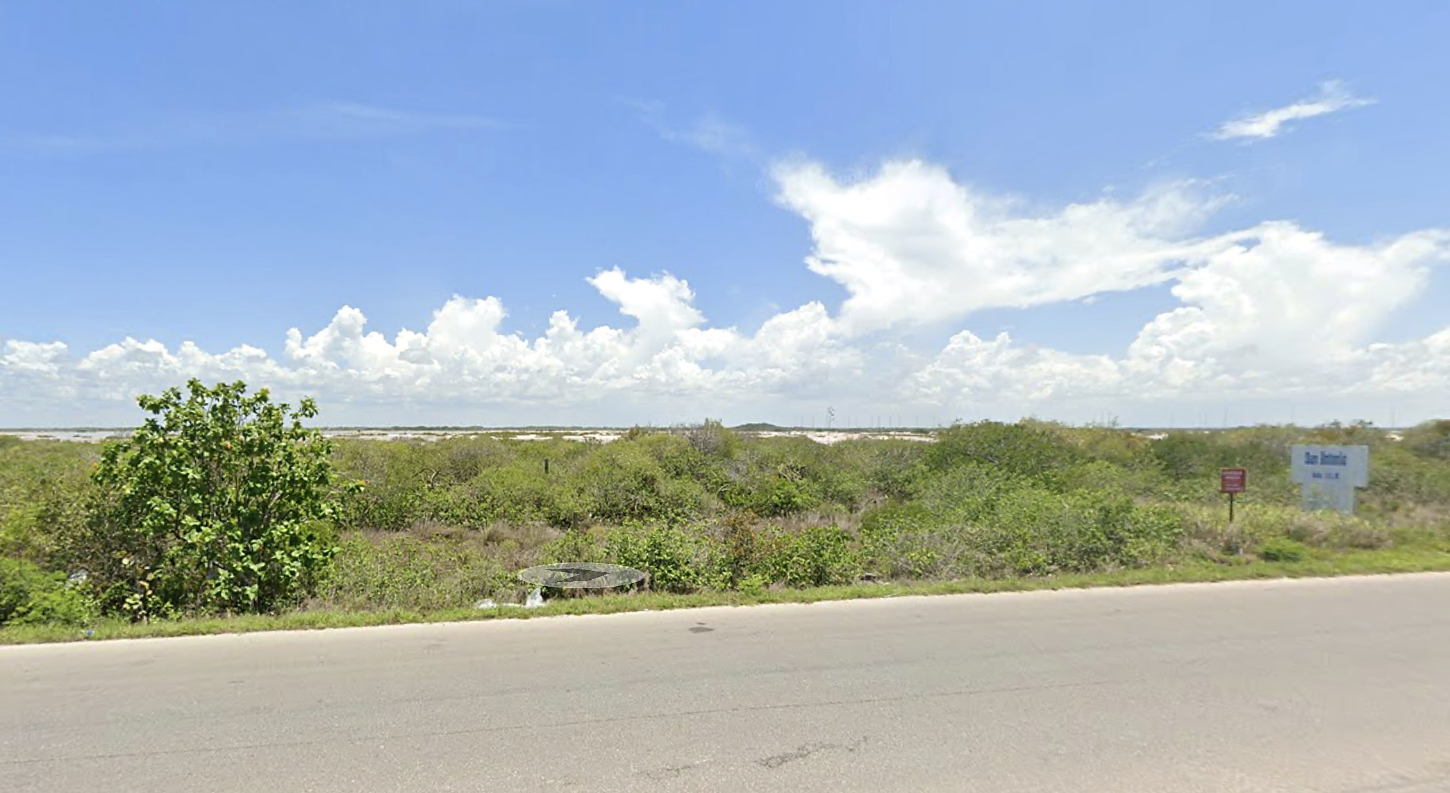
View of the lot from the Chicxulub–Telchac Puerto coastal road at km 11.5

Km 11.5 · Coastal road

Chicxulub Puerto · Progreso, Yucatán, Mexico

3,296 m² for sale on the road to Telchac

A regular lot, 25 meters wide and 131 deep, on the coastal corridor linking Chicxulub Puerto with Telchac. Mixed zoning: commercial or residential.

01 · The land

A straight strip from the road to the wetland

N
24.99 m · road 25.00 m · wetland 130.16 m · right of way 133.58 m · adjoining lot

Drawn to scale

The land is essentially flat and regular in shape, with no structures on it. It runs north to south: it starts at State Highway 27 and ends at the wetland, holding a constant width of 25 meters along its full length.

The usable frontage faces the coastal road. Along the west side there is also a 4-meter sand right of way, which serves as a side access to the property.

  • North24.99 mChicxulub–Telchac Puerto coastal road (main frontage)
  • West130.16 mRight of way, 4 m sand lane
  • East133.58 mPrivate property, adjoining lot
  • South25.00 mWetland
02 · Details

The facts, plain and simple

Lot size
3,296.09 m²
Frontage width
24.99 m
Depth
131.87 m average
Frontage
On the coastal road, with side access via right of way
Topography
Flat, regular shape
Zoning
Mixed: commercial and residential
Utilities
Electricity, phone service, public transit
Structures
None. Vacant land
Ownership share
100 %
Documentation
Current property records, available for review
Municipality
Progreso, Yucatán
Coordinates
21°18'04.4"N, 89°33'06.1"W
03 · Why this lot

Three concrete reasons

On the road that moves the coast

State Highway 27 connects Chicxulub Puerto with Uaymitún, San Benito, San Bruno and Telchac Puerto. All traffic between those beaches passes the front of this lot.

Mixed zoning, more than one option

Zoning allows commercial or residential use: a service plaza, a building supply store, a convenience store, or seasonal residential development.

An area not yet built out

The area is roughly 20 % built out, in a corridor where residential and tourism construction advances year after year.

04 · Location

Km 11.5, between Chicxulub and Telchac

On the coastal road, at the San Antonio access. The beach lies on the other side of the road, a few minutes away.

Map of the coastal area showing the lot in relation to the beach and the road
Wider area · the lot outlined in red
Close aerial view of the lot and neighboring parcels
Close-up · the subject lot
05 · Contact

Would you like to see it in person?

We can arrange a site visit any day of the week. We can also send you the survey plan and the full property documentation before you make the trip.

06 · Request information

Leave us your details

We reply the same day with the survey plan, the property documentation and available dates to visit the site.

Your details are used only to reply about this property. We do not share them with third parties.